Know Before You Go: The Art of Scouting a Paddling Destination Before You Ever Touch the Water
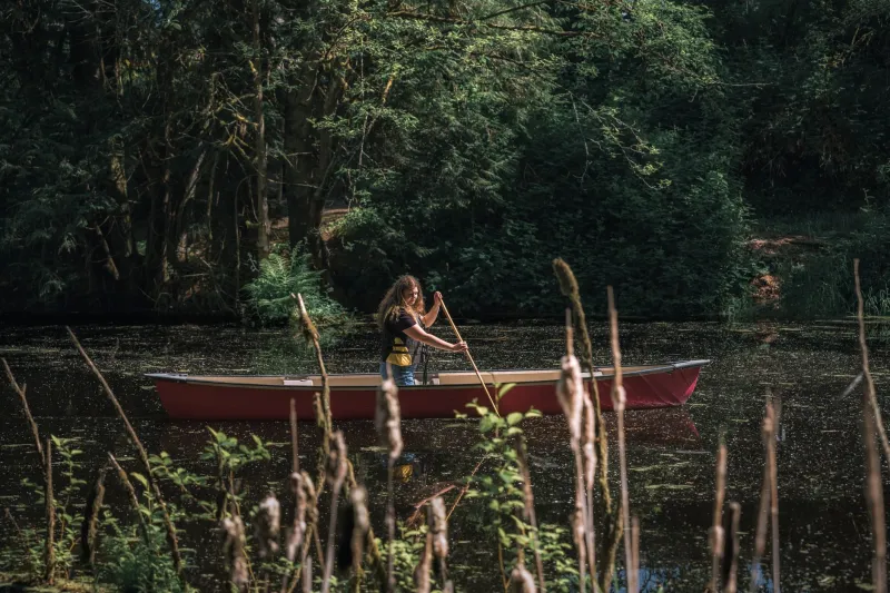
There's a certain romance to just loading the boat, pointing the truck toward a river you've never run, and figuring it out as you go. We get it. But there's a fine line between spontaneous and reckless—and on unfamiliar water, that line can be sharp.
Seasoned paddlers know something beginners often learn the hard way: the best time to study a stretch of water is before you're standing at the put-in, spray skirt half-on, realizing you have no idea what's around that first bend. Pre-trip scouting isn't just preparation. It's part of the adventure. Done right, it's actually kind of fun.
Why Scouting Gets Skipped (And Why That's a Problem)
Most paddlers skip the homework for one of three reasons: they're overconfident, they're in a hurry, or they just don't know where to start. The third one is the most forgivable—and the most fixable.
Paddling into an unknown section without recon can mean anything from a disappointing flatwater stretch when you wanted moving water, to a surprise Class IV rapid your skills aren't ready for, to a takeout that no longer exists because a private landowner fenced it off last spring. None of those are fun surprises.
Scouting also matters for the smaller stuff: parking logistics, whether the launch ramp is paved or a mud slide, whether cell service drops out entirely, and if the nearest bathroom is three miles back at the gas station. These details shape the whole experience.
Start With Satellite Imagery
Google Earth and similar tools have quietly become one of the most powerful pre-trip resources available to paddlers, and most people use them only to double-check that they're headed to the right county. Go deeper.
Zoom into the put-in and takeout. Look at the channel width. Identify obvious hazards—logjams, exposed rocks, narrow chutes. Check whether the access road dead-ends or loops. Study the terrain around the river to gauge whether you're dealing with a canyon section (harder to escape if things go sideways) or open farmland (easy portage options). You can even compare historical imagery on Google Earth to see how a stretch has changed over time due to flooding or erosion.
For coastal paddling, look at the exposure of the route. Is there a headland you'll need to round? Any obvious surf zones at the takeout? Satellite views won't tell you everything, but they'll tell you a lot.
Trip Reports Are Gold—If You Know How to Read Them
American Whitewater, Paddling.com, and regional paddling club websites are loaded with trip reports. The catch is that reports age. A glowing review from 2019 might describe a takeout that washed out in 2022. A warning about a strainer might be outdated—or it might be worse now.
Always check the date. Look for multiple reports across different seasons and water levels. Pay attention to water level gauges mentioned in the reports and cross-reference them with USGS streamflow data (waterdata.usgs.gov) to understand what level the river was running when the report was written versus what it's running now.
When reports are sparse or outdated, that's a signal to dig harder—not to assume everything is fine.
Local Forums and Facebook Groups: Handle With Care
Regional paddling communities on Facebook, Reddit, and club forums are treasure troves of current information. A quick post asking "Has anyone run [X] river recently?" can surface intel that no guidebook has. Locals will often share access updates, recent hazard changes, and seasonal conditions that simply aren't published anywhere.
But approach these spaces with some social awareness. Don't blast a specific put-in's location into a public forum if it's a sensitive access situation. Don't ask for coordinates to a spot that locals have kept deliberately low-profile. Earn some trust first—comment on others' posts, contribute your own reports, and ask questions in ways that show you've already done some homework.
Also: take everything with a grain of salt. Local paddlers have opinions, and those opinions don't always agree.
The In-Person Scout: When It's Worth the Extra Trip
For truly unfamiliar or technical water, nothing beats driving out to look at it with your own eyes before you commit to running it. This is especially true for remote destinations where rescue would be complicated, or for routes where the consequences of a mistake are high.
You don't need to walk the entire river. Focus on the crux sections—the rapids or crossings that represent the biggest unknowns. Look at the takeout from the road to confirm you can actually get a vehicle in there. Check the launch for obstacles. If you can stand at the water's edge and get a feel for the current speed and character, you'll launch with a completely different level of confidence.
This kind of pre-visit also gives you a chance to talk to anyone you run into—anglers, park staff, other paddlers. These conversations often surface information that no amount of online research would have found.
A Word on Not Blowing Up Hidden Gems
One thing to keep in mind as you build your scouting skills: some of what you discover is worth keeping close. Not every put-in needs to be reviewed on every platform. Not every quiet stretch of river benefits from a viral post.
If locals have been protective of a spot for good reasons—fragile ecosystems, sensitive land access, limited parking that can't handle crowds—respect that. The paddling community is small enough that your reputation travels. Being known as someone who's discreet with sensitive information is worth more than a few extra likes on a trip report.
The Bottom Line
Pre-trip scouting isn't about eliminating surprise—it's about eliminating the dangerous kind. You can still show up to a river with a sense of wonder and discovery. You'll just also know where to park, what to expect around the first bend, and whether the water level is actually paddleable this weekend.
The paddle before the paddle is what separates a great trip from a stressful one. Put in the time. Your future self, already on the water, will thank you.
